舆图

示意图,边界据 Natural Earth,不作为划界依据。
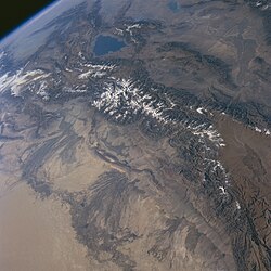
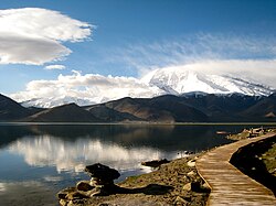
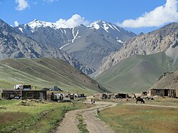
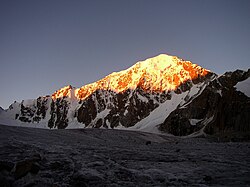
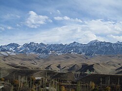
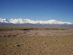
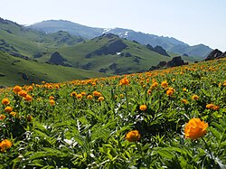
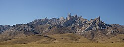
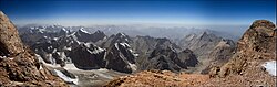
The Kyrgyz Ala-Too, also known as the Kyrgyz Alatau and Kyrgyz Range, and historically as the Alexander Range, is a large mountain range in the northern Tian Shan. It extends roughly east–west for 454 km (282 mi) from the Kyzylompol Range, west of Issyk-Kul, to Taraz in Kazakhstan, and is up to 40 km (25 mi) wide. It separates the Chüy Valley from the Talas, Suusamyr and Kochkor Valley. Its mean elevation is about 3,700 m (12,100 ft), and its highest point reaches 4,895 m (16,060 ft). In the eastern part of the range, many summits exceed 4,000 m (13,000 ft).
摘自英文维基百科「Kyrgyz Ala-Too Range」,按 CC BY-SA 4.0 使用
资料