舆图

资料
- 所在国家 / 地区
- 挪威
- 坐标
- 北纬 68.75°,东经 19.49°
- 所属山脉
- 斯堪的纳维亚山脉
- 地形孤立度
- 59.5 千米
百科(英文)
这个词条没有中文维基百科条目,下面是英文维基百科的原文。
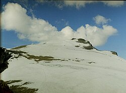
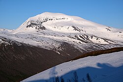
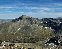
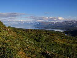
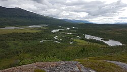
Njunis is a mountain in the interior of southern Troms county, Norway. The mountain lies in Målselv Municipality. With a peak at 1,713 metres (5,620 ft), it is the highest mountain in this part of the county, and has Norway's thirteenth largest prominence. The tree line (downy birch) reaches to 700 metres (2,300 ft) elevation on the southern slope of the mountain, the highest tree line in Troms. This forest is part of the Øvre Dividal National Park. At the peak, NATO has a radar centre.
Name
The name njunis, which means "prominent nose of a mountain", is derived from the Northern Sami language.
以上摘自英文维基百科「Njunis」(去掉了表格、图片、参考文献和外部链接),按 CC BY-SA 4.0 使用。