舆图

资料
百科(英文)
这个词条没有中文维基百科条目,下面是英文维基百科的原文。
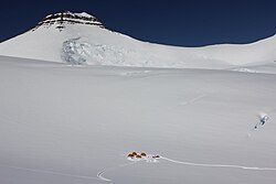
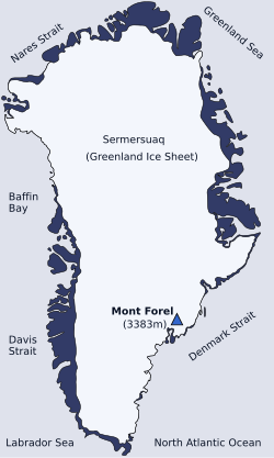
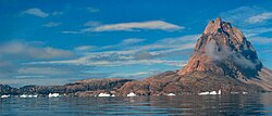
Dansketinden is the highest mountain in the Stauning Alps range, Eastern Greenland.
Geography
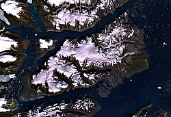
Dansketinden rises 15 km east of the shore of the Alpefjord —a branch of the Segelsällskapet Fjord, between the heads of Viking Glacier (Vikingebrae), Gully Glacier and Bersaerkerbrae glaciers. Although according to most available sources this mountain is a 2,842-metre-high (9,324 ft) or 2,831-metre-high (9,288 ft) ultra-prominent peak. it appears as a 2,788-metre-high (9,147 ft) peak in Google Earth.
Climbing history
Dansketinden was first climbed by Swiss mountaineers John Haller (1927–1984), Wolfgang Diehl (1908–1990) and Fritz Schwarzenbach on 5 August 1954. The second ascent was made by a 1964 expedition led by Guido Monzino.
以上摘自英文维基百科「Dansketinden」(去掉了表格、图片、参考文献和外部链接),按 CC BY-SA 4.0 使用。