舆图

资料
- 所在国家 / 地区
- 美国
- 坐标
- 北纬 38.37°,西经 112.37°
- 所属山脉
- 塔夏尔岭
- 所在保护区
- 鱼湖国家森林
百科(英文)
这个词条没有中文维基百科条目,下面是英文维基百科的原文。
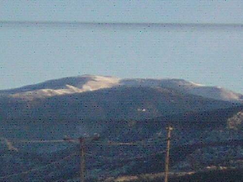
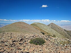
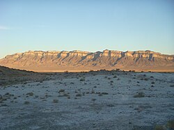
Delano Peak is a mountain in the Tushar Mountains in the Fishlake National Forest in Beaver and Piute counties in Utah, United States.
Description
The peak (pronounced deh-lah-no), is the highest point in the Tushar Mountains and in both Beaver and Piute counties. The Tushar Mountains are the third-highest range in the state, after the Uinta Mountains and the La Sal Range, though Delano Peak itself is surpassed in height by at least thirty-one other Utah peaks. The mountain is named for Columbus Delano (1809–1896), Secretary of the Interior during the Grant administration. Delano Peak is located just east of Beaver, and can be seen clearly from Interstate 70 and Interstate 15.
以上摘自英文维基百科「Delano Peak」(去掉了表格、图片、参考文献和外部链接),按 CC BY-SA 4.0 使用。