舆图

资料
- 所在国家 / 地区
- 美国
- 坐标
- 北纬 40.46°,西经 112.63°
- 所属山脉
- Stansbury Mountains
- 所在保护区
- 尤因塔-瓦萨奇国家森林公园、Deseret Peak Wilderness
百科(英文)
这个词条没有中文维基百科条目,下面是英文维基百科的原文。
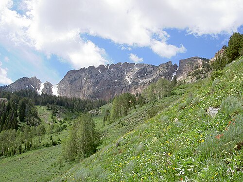
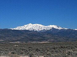
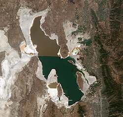
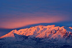
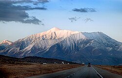
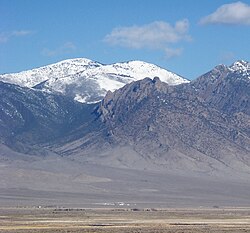
Deseret Peak is the highest peak in the Stansbury Mountains with an elevation of 11,035 ft. It is located in the Deseret Peak Wilderness area west of Grantsville, Utah and east of Skull Valley Indian Reservation. It is the fourth most topographically prominent peak in the state of Utah. The site is a popular destination for hikers and backcountry skiers as the area is a contrast of the alpine wilderness with the surrounding desert basin. The trail that leads to the peak is easily accessible from Salt Lake City. The mountain offers views of the Bonneville Salt Flats, the Great Salt Lake, and the surrounding towns and mountain ranges. On a clear day, it is possible to see Mount Nebo, the highest peak in the adjacent Wasatch Mountains.
From the parking area, there is a 7.4-mile out and back trail that gains 3,595 feet to the summit. The upper portions of the parking lot are closed during the winter months due to snow and it generally opens completely in the month of May.
以上摘自英文维基百科「Deseret Peak」(去掉了表格、图片、参考文献和外部链接),按 CC BY-SA 4.0 使用。