舆图

资料
- 所在国家 / 地区
- 格鲁吉亚
- 坐标
- 北纬 42.92°,东经 42.56°
- 所属山脉
- 斯瓦涅季山脉
- 地形孤立度
- 22.8 千米
百科(英文)
这个词条没有中文维基百科条目,下面是英文维基百科的原文。
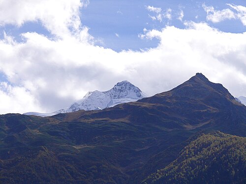
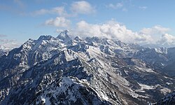
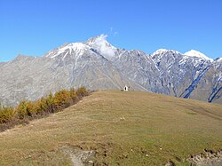
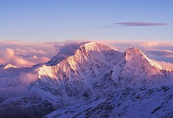
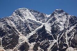
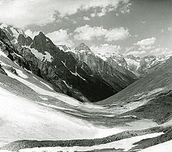
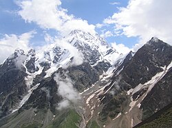
Mount Laila, Lahili (Georgian: ლაჰილი), Lailchala (Georgian: ლაილჭალა) also known as Lahla, is the highest peak of the Svaneti Range in Georgia. The elevation of the summit is 4,009 metres (13,153 ft) above sea level. Lahili's geological makeup mostly consists of Upper Palaeozoic-Triassic quartzite, metamorphic rock and sandstone. The mountain is covered by snow and ice. The northern slope of the summit contains several valley glaciers; notably, the Lahili Glacier descends from the summit down to an elevation of 2,220 metres (7,283 ft) above sea level.
以上摘自英文维基百科「Laila Peak (Caucasus)」(去掉了表格、图片、参考文献和外部链接),按 CC BY-SA 4.0 使用。