舆图

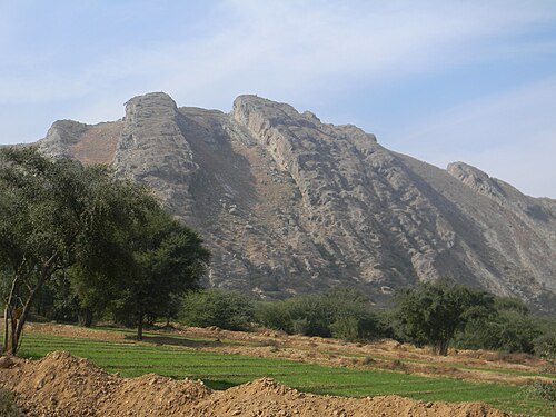
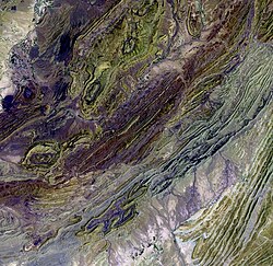
The Salt Range (Urdu: کوہِ نمک; Punjabi: لوݨا پہاڑی دھارا), historically known as Koh-i-Jud (Urdu: کوہِ جود), is a mountain range in the northern Punjab, Pakistan, deriving its name from its extensive deposits of rock salt (known as Himalayan salt). The range extends along the south of the Potohar Plateau and the north of the Jhelum River. The Salt Range contains the large mines of Khewra, Kalabagh, and Warcha, which yield vast supplies of salt. Coal of a medium quality is also found here. The highest peak of the range is Sakesar.
摘自英文维基百科「Salt Range」,按 CC BY-SA 4.0 使用
资料
- 所在国家 / 地区
- 巴基斯坦
- 坐标
- 北纬 32.67°,东经 72.58°