舆图

资料
百科(英文)
这个词条没有中文维基百科条目,下面是英文维基百科的原文。
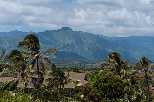
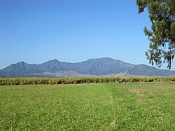
Kawaikini is a shield volcano on the Hawaiian Island of Kauaʻi and in Kauaʻi County and measures 5,243 feet (1,598 m) in elevation. It is the summit of the island's inactive central shield volcano, Mount Waialeale. Other peaks on Kauaʻi include: Waiʻaleʻale (5,148 feet), Nāmolokama Mountain (4,421 feet), Kalalau Lookout (4,120 feet), Keanapuka Mountain (4,120 feet), Haupu (2,297 feet) and Nounou (1,241 feet).
Description
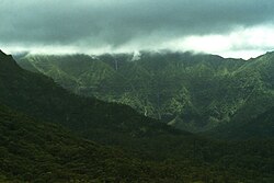
A rain gauge placed on the nearby Waialeale lake records daily rainfall and regularly lands Kauaʻi's peaks on the National Climatic Data Center's list of places averaging the highest annual rainfall. This high rainfall makes reaching the summit difficult on most days.
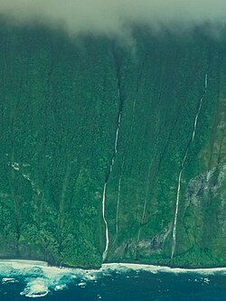
The rain is not the only barrier to reaching Kawaikini. The Alakai Wilderness Preserve is located to the west and its miles of dense, swampy forest limit access to the summit. To the north, east, and south, Kawaikini is protected by steep, wet cliffs.
Etymology
Ka wai kini literally translates to "the multitudinous water" in the Hawaiian language, referring to the island's high rainfall.
以上摘自英文维基百科「Kawaikini」(去掉了表格、图片、参考文献和外部链接),按 CC BY-SA 4.0 使用。