舆图

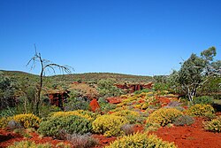
Nambung National Park is a national park in the Wheatbelt region of Western Australia, 200 kilometres (120 mi) northwest of the state capital Perth, and 17 kilometres (11 mi) south of the small coastal town of Cervantes. The park contains the Pinnacles Desert which is an area with thousands of limestone formations called pinnacles.
摘自英文维基百科「Nambung National Park」,按 CC BY-SA 4.0 使用
资料
- 所在国家 / 地区
- 澳大利亚
- 坐标
- 南纬 30.58°,东经 115.17°
- 设立
- 1968 年