舆图

资料
- 所在国家 / 地区
- 美国
- 坐标
- 北纬 41.52°,西经 115.97°
- 所属山脉
- Independence Mountains
百科(英文)
这个词条没有中文维基百科条目,下面是英文维基百科的原文。
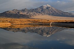
McAfee Peak is the highest mountain in the Independence Mountains of northern Elko County, Nevada, United States. It ranks twenty-first among the most topographically prominent peaks in the state. The peak is located within the Mountain City Ranger District of the Humboldt-Toiyabe National Forest.
以上摘自英文维基百科「McAfee Peak」(去掉了表格、图片、参考文献和外部链接),按 CC BY-SA 4.0 使用。