舆图

资料
- 所在国家 / 地区
- 冰岛
- 坐标
- 北纬 64.41°,西经 20.76°
百科(英文)
这个词条没有中文维基百科条目,下面是英文维基百科的原文。
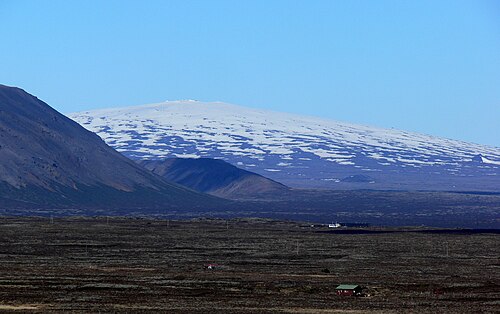
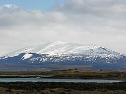
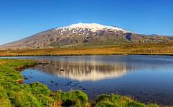
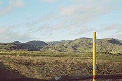
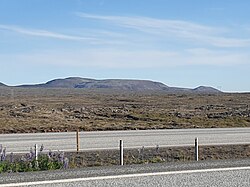
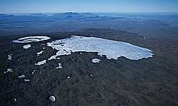
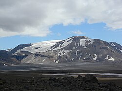
Skjaldbreiður (Icelandic pronunciation: [ˈscaltˌpreiːðʏr̥] , "broad shield") is an Icelandic lava shield formed in an eruption series roughly 9,500 years ago. The extensive lava fields produced by this eruption flowed southwards and formed the basin of Þingvallavatn, Iceland's largest lake, and Þingvellir, the "Parliament Plains", where the Icelandic national assembly, the Alþing, was founded in 930.
The volcano summit is at 1,066 m (3,497 ft), and its crater measures roughly 300 m (980 ft) in diameter. The Skjaldbreiður lava shield covers 170 km2 (66 sq mi) with a volume of about 13 km3 (3.1 cu mi). and is sometimes considered a separate southern part of the Oddnýjarhnjúkur-Langjökull volcanic system. In this context, its most recent eruption was 3,600 years ago, with the earliest eruption after the last ice age 10,200 years ago. There are at least three lava units deposited between 6,000 and 9,000 years BP.
Straddling the Mid-Atlantic Ridge, the lava fields from Skjaldbreiður have been torn and twisted over the millennia, forming a multitude of fissures and rifts inside the Þingvellir National Park, the best known of which are Silfra, Almannagjá [ˈalˌmanːaˌcauː], Hrafnagjá [ˈr̥apnaˌcauː] and Flosagjá [ˈflɔːsaˌcauː].
以上摘自英文维基百科「Skjaldbreiður」(去掉了表格、图片、参考文献和外部链接),按 CC BY-SA 4.0 使用。