舆图

资料
百科(英文)
这个词条没有中文维基百科条目,下面是英文维基百科的原文。
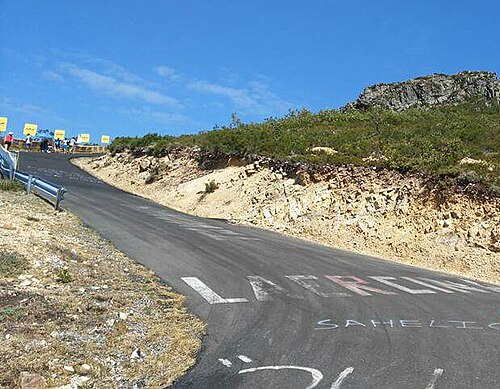
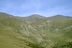
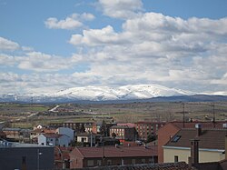
La Camperona (altitude 1,597 m (5,240 ft)) is a mountain in the Cantabrian Mountains, near Sabero in the Province of León, Spain.
The mountain pass, which gives access to the summit, has the same name.
Cycling
The mountain has been used several times for stage finishes in the Vuelta a España. The average gradient of the 7.57 km (4.7 mi) climb from the N-621 road at Santa Olaja de la Varga to Sotillos de Sabero at 1,216 m (3,990 ft) is 3.5%, with a maximum gradient of 9%. Beyond Sotillos de Sabero, the climb has a maximum gradient of 19.5%.
以上摘自英文维基百科「La Camperona」(去掉了表格、图片、参考文献和外部链接),按 CC BY-SA 4.0 使用。