舆图

资料
- 所在国家 / 地区
- 冰岛
- 坐标
- 北纬 64.11°,西经 19.84°
- 属于
- 福斯河
百科(英文)
这个词条没有中文维基百科条目,下面是英文维基百科的原文。
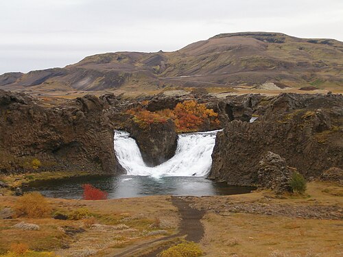
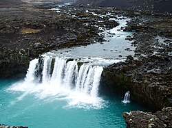
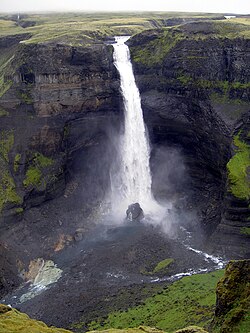
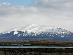
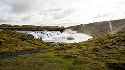
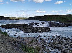
Hjálparfoss (Icelandic pronunciation: [ˈçaul̥parˌfɔsː] ) is one of several waterfalls in the south of Iceland situated in the lava fields north of the stratovolcano Hekla near the point where the rivers Fossá and Þjórsá join. Hjálparfoss is located about 30 kilometres (19 mi) east of the village Flúðir and can be reached by a gravel road off Route 32 that winds through the Vikrar lava fields. About 5 kilometres (3.1 mi) south of Hjálparfoss lies Þjófafoss; further east are Háifoss on the Fossá and Tangafoss on the Þjórsá.
Just downstream from Hjálparfoss is Iceland's second-largest hydroelectric power station, Búrfellsstöð.
以上摘自英文维基百科「Hjálparfoss」(去掉了表格、图片、参考文献和外部链接),按 CC BY-SA 4.0 使用。