舆图

资料
百科(英文)
这个词条没有中文维基百科条目,下面是英文维基百科的原文。
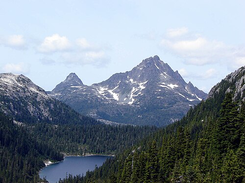
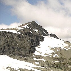
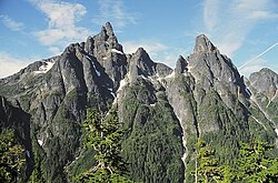
The Golden Hinde is a mountain located in the Vancouver Island Ranges on Vancouver Island, British Columbia, Canada. At 2,195 metres (7,201 ft), it is the highest peak on the island. The peak is popular with experienced backcountry-climbers, having been first ascended in 1913. The mountain is made of basalt which is part of the Karmutsen Formation.
Geography
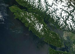
The mountain is located near the geographic centre of Vancouver Island, as well as near the centre of 2,450 km2 (605,408 acres) Strathcona Provincial Park, at the head of the Wolf River and to the west of Buttle Lake, about 25 kilometres (16 mi) east of the community of Gold River.
Name origin
The mountain took its name from Sir Francis Drake's ship, the Golden Hind, by an early fur-trading captain, who was reminded of Drake's ship as sunset hit the mountain (which is visible from the west coast of the Island) and in honour of Drake's reputed presence off the coast of the future British Columbia during the explorer's circumnavigation of the globe from 1577 to 1580 (see New Albion).
The present name was not officially conferred until 1938, but this was done after a reference to the peak in a fur-trader's log. The alternative name "The Rooster's Comb" was used by early alpinists because of the mountain's appearance.
以上摘自英文维基百科「Golden Hinde (mountain)」(去掉了表格、图片、参考文献和外部链接),按 CC BY-SA 4.0 使用。