舆图

资料
- 所在国家 / 地区
- 挪威
- 坐标
- 北纬 68.23°,东经 17.18°
- 地形孤立度
- 22.6 千米
百科(英文)
这个词条没有中文维基百科条目,下面是英文维基百科的原文。
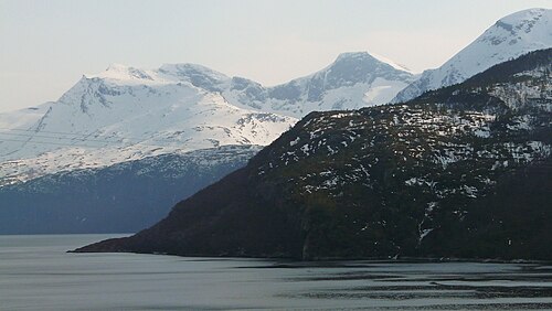
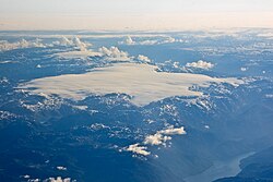
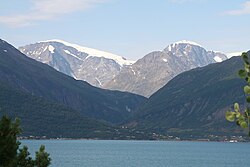
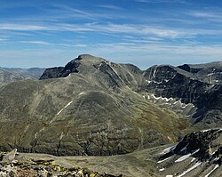
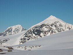
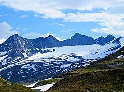
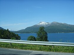
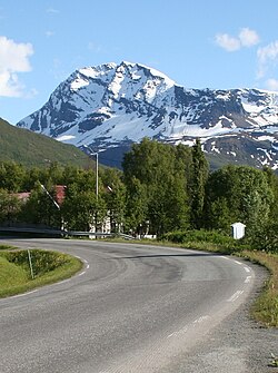
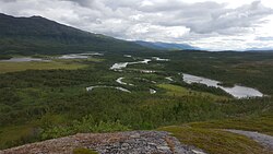
Frostisen (Norwegian) or Ruostajiekŋa (Northern Sami) is a glacier in Narvik Municipality in Nordland county, Norway. It is one of the larger plateau glaciers in Norway. Frostisen covers an area of about 25 square kilometres (9.7 sq mi), and its elevation ranges from 840 to 1,710 metres (2,760 to 5,610 ft) above sea level. The glacier lies near the Skjomen fjord, a branch of the Ofotfjorden, just southwest of the town of Narvik. The village of Elvegård lies about 6 kilometres (3.7 mi) east of the glacier. The lakes Geitvatnet, Isvatnet, Kjelvatnet, Nordre Bukkevatnet and Søre Bukkevatnet lie southwest of the glacier.
以上摘自英文维基百科「Frostisen」(去掉了表格、图片、参考文献和外部链接),按 CC BY-SA 4.0 使用。