舆图

资料
- 所在国家 / 地区
- 阿根廷
- 坐标
- 南纬 33.02°,西经 69.46°
- 所属山脉
- Cordón del Plata
- 地形孤立度
- 46.5 千米
- 得名自
- 雪
百科(英文)
这个词条没有中文维基百科条目,下面是英文维基百科的原文。
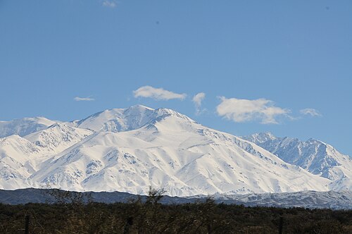
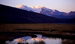
Cerro El Plata is a 5,968 metres (19,580 ft) mountain summit in Argentina.
Description
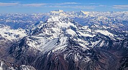
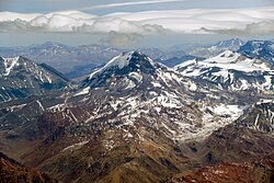
Cerro El Plata is the highest peak of the Cordón del Plata which is a subrange of the Andes. The mountain is located 65 kilometres (40 miles) southeast of Aconcagua and 60 kilometres (37 miles) west of the provincial capital, the city of Mendoza. Precipitation runoff from the mountains drains into the Mendoza River watershed. Topographic relief is significant as the west slope rises 2,170 meters (7,120 feet) in four kilometers (2.5 miles). The Spanish toponym "Cerro El Plata" translates to Silver Peak. The first ascent of the summit was made by Hans Stepanek on January 21, 1925.
Climate
According to the Köppen climate classification system, Cerro El Plata is located in a Tundra climate zone with cold, snowy winters, and cool summers. The months of October through February offer the most favorable weather for climbing the mountain.
以上摘自英文维基百科「Cerro El Plata」(去掉了表格、图片、参考文献和外部链接),按 CC BY-SA 4.0 使用。