舆图

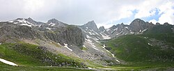
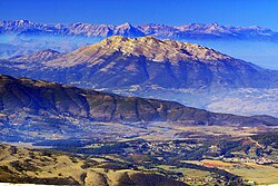
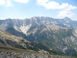
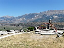
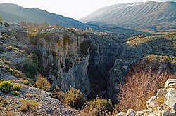
Mali i Çikës is a massif in southwestern Albania, forming one of the most rugged and elevated sections of the Ceraunian Mountains. It stretches from the valley of Kudhës stream in the southeast to Shëngjergj Pass in the northwest, dominating the landscape above the coastal region of Himarë and the inland valley of Dukat.
摘自英文维基百科「Mali i Çikës」,按 CC BY-SA 4.0 使用
资料
- 所在国家 / 地区
- 阿尔巴尼亚
- 坐标
- 北纬 40.20°,东经 19.62°
- 所属山脉
- 塞罗尼安山脉