舆图

资料
百科(英文)
这个词条没有中文维基百科条目,下面是英文维基百科的原文。
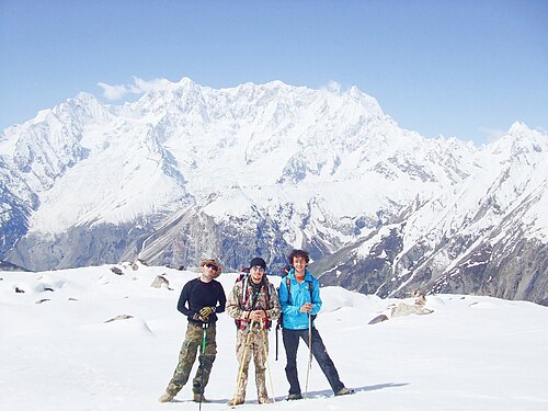
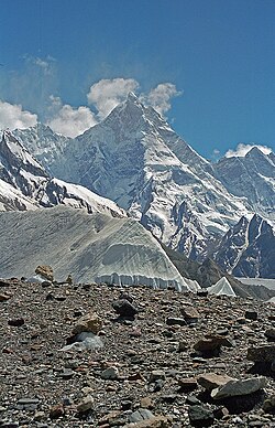
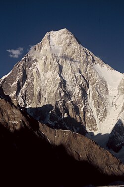
Ghamubar Zom (Urdu: گموبر دزوم) is a mountain in the Hindu Raj mountain range in Gilgit–Baltistan, Pakistan. It has a summit elevation of 6,518 m above sea level.
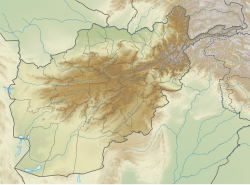
The mountain is close to the border of Gilgit–Baltistan and Khyber Pakhtunkhwa. The nearest village to the mountain is Darkot in Yasin valley.
The entire prominence of mountain is visible from Darkot and Rawat villages.
以上摘自英文维基百科「Ghamubar Zom」(去掉了表格、图片、参考文献和外部链接),按 CC BY-SA 4.0 使用。