舆图

资料
- 所在国家 / 地区
- 美国
- 坐标
- 北纬 61.52°,西经 141.10°
- 所属山脉
- 圣埃利亚斯山脉
- 所在保护区
- 弗兰格尔-圣伊莱亚斯国家公园
- 地形孤立度
- 25.0 千米
百科(英文)
这个词条没有中文维基百科条目,下面是英文维基百科的原文。
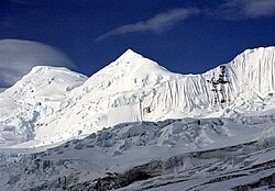
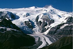
Mount Natazhat is a high peak of the Saint Elias Mountains, of Alaska, United States, just west of the border with the Yukon Territory of Canada. It lies on the northern edge of the range, south of the White River and north of the Klutlan Glacier.
Mount Natazhat is a little-noticed peak; however it is a very large peak in terms of rise above local terrain. It rises 9,000 feet (2,743 m) in less than 7 miles (11.3 km) above the lowlands to the north, and 7,500 feet (2,286 m) in about 4 miles (6.4 km) above the Klutlan Glacier to the south.
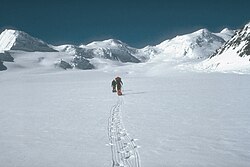
The current standard route is that of the second ascent along the northeast ridge. This route was first climbed in 1996 by D. Hart, P. Barry, H. Hunt, and D. Lucey. It is moderately serious by Alaskan standards (Alaska Grade 3+), with some steep ice and corniced ridges.
Mount Natazhat is not often climbed due to its remote location and the fact that it is not a particularly high peak, especially by Alaskan standards. (Also, it is not even a fourteener.) In fact, the only mention of the peak in the complete Index of the American Alpine Journal is for the 1996 ascent noted above.
以上摘自英文维基百科「Mount Natazhat」(去掉了表格、图片、参考文献和外部链接),按 CC BY-SA 4.0 使用。