舆图

资料
百科(英文)
这个词条没有中文维基百科条目,下面是英文维基百科的原文。
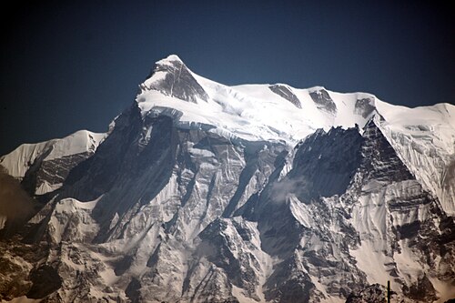
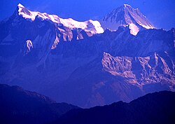
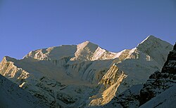
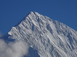
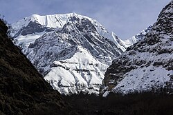
Annapurna IV (Nepali: अन्नपूर्ण ४) is a mountain of the Annapurna mountain range in the Himalayas which is located in Nepal. Along with the taller Annapurna II, it is isolated from the other peaks in the range via the major col of Sabje La. It is the 4th highest peak of the range. It was first climbed on May 30, 1955 by a German expedition led by Heinz Steinmetz via the North Face and Northwest Ridge. The summit party comprised Steinmetz, Harald Biller, and Jürgen Wellenkamp.
Features
Despite its low prominence, Annapurna IV is an important peak relative to its immediate neighbors. The standard route of ascent for Annapurna II uses the North face of this peak to ascend to the ridge that connects the two summits, thus circumventing many of the hazards faced on that mountain. To the West, Annapurna IV drops away steeply to the Sabje La col, shared with the East ridge of Annapurna III (and thus the rest of the Annapurna massif).
The Seti River valley, immediately due south of Sabje La, provides access to the famous Southeast ridge of Annapurna III. Although subject to decades of attempts, the ridge was only successfully climbed for the first time in 2021. As of 2024, Annapurna IV's own Southwest pillar, also reachable from the valley, has repelled all climbing attempts.
Rockfalls
Rockfalls from Annapurna IV are thought to have blocked the Seti River in 2012, creating a temporary dam.
以上摘自英文维基百科「Annapurna IV」(去掉了表格、图片、参考文献和外部链接),按 CC BY-SA 4.0 使用。