舆图

资料
- 所在国家 / 地区
- 尼泊尔
- 坐标
- 北纬 28.04°,东经 86.76°
- 所属山脉
- 马哈兰格·喜玛尔
百科(英文)
这个词条没有中文维基百科条目,下面是英文维基百科的原文。
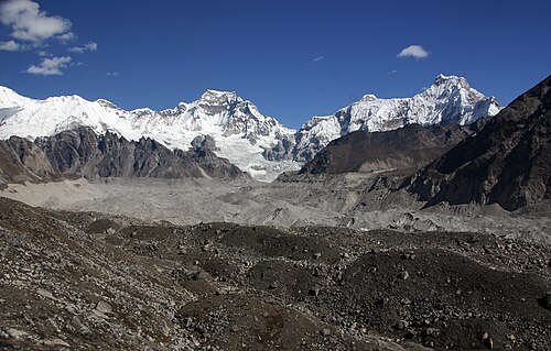
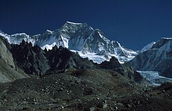
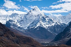
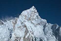
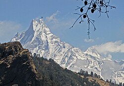
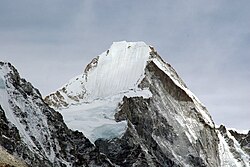
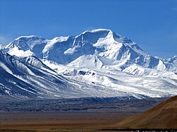
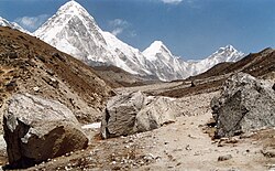
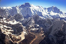
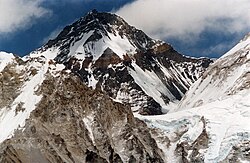
Hungchi (also known as Chakhung) is a mountain peak in the Himalayas on the border of Nepal and the Tibet Autonomous Region of People's Republic of China.
Location
Hungchi is located at 7,029 m (23,061 ft), at the head of Gyoko valley and south of high mountain pass Nup La. To the east, the ridge continues over to the Chumbu and Pumori. It is situated 17 kilometres (11 mi) west-northwest of Mount Everest on the boundary that Sagarmatha National Park shares with Qomolangma National Nature Preserve. Precipitation runoff from the mountain's slopes drains south to the Dudh Koshi and north to the Rong River in Tibet, both of which are tributaries of the Arun River.
Climbing history
Hungchi was first climbed on April 19, 2003, by a Japanese expedition.
Climate
Based on the Köppen climate classification, Hungchi is located in a tundra climate zone with cold, snowy winters, and cool summers. Weather systems coming off the Bay of Bengal are forced upwards by the Himalaya mountains (orographic lift), causing heavy precipitation in the form of rainfall and snowfall. Mid-June through early-August is the monsoon season. The months of April, May, September, and October offer the most favorable weather for viewing or climbing this peak.
以上摘自英文维基百科「Hungchi」(去掉了表格、图片、参考文献和外部链接),按 CC BY-SA 4.0 使用。