舆图

示意图,边界据 Natural Earth,不作为划界依据。
资料
百科(英文)
这个词条没有中文维基百科条目,下面是英文维基百科的原文。
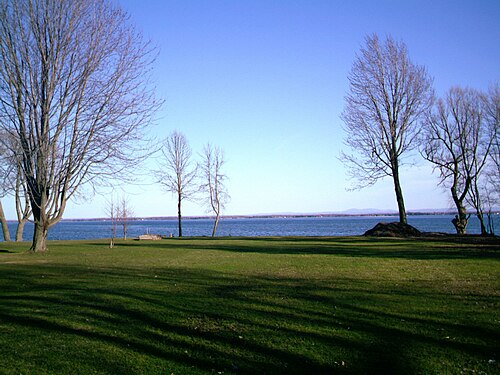
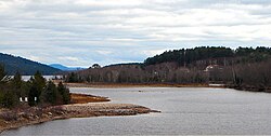
Lake Saint Francis (French: lac Saint-François, pronounced [lak sɛ̃ fʁɑ̃swa]) is a lake which borders southeastern Ontario, southwestern Quebec and northern New York State. It is located on the Saint Lawrence River between Lake Ontario and Montreal, Quebec. The lake forms part of the Saint Lawrence Seaway.
The city of Salaberry-de-Valleyfield is located at the east end of the lake.
Lac Saint-François National Wildlife Area, located on the south shore of the lake, protects wetlands located on the shores of the lake. This area provides important habitat for Redhead ducks and other waterfowl. Thousands of migrating waterfowl stop over in this region. In 1987, it was recognized as a wetland of international significance under the Ramsar Convention.
The Charlottenburgh Marsh, including Cooper Marsh, is an important wetland area located on the north shore of the lake.
以上摘自英文维基百科「Lake Saint Francis (Canada)」(去掉了表格、图片、参考文献和外部链接),按 CC BY-SA 4.0 使用。