舆图

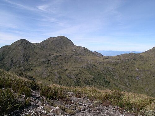
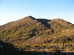
Pedra da Mina is the fourth highest mountain in Brazil, located in the Serra Fina section of the Mantiqueira Mountains, one of the country's most important mountain ranges. The mountain stands on the border of the states of Minas Gerais and São Paulo, respectively to its north and south. With a 2,798-metre (9,180-foot) elevation, it is the highest point of the Mantiqueira Mountains and of the state of São Paulo, and the second highest mountain in the state of Minas Gerais.
摘自英文维基百科「Pedra da Mina」,按 CC BY-SA 4.0 使用
资料