舆图

资料
百科(英文)
这个词条没有中文维基百科条目,下面是英文维基百科的原文。
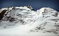
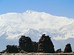
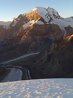
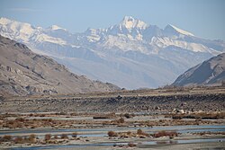
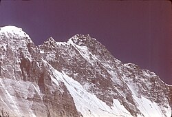
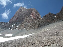
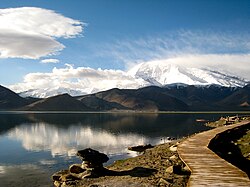
Independence Peak or Qullai Istiqlol (Russian: Пик Независимости; Tajik: Қуллаи Истиқлол), at 6,940 m (22,769 ft), is the seventh-highest peak in the Pamir Mountains, located at the center of Tajikistan's Gorno-Badakhshan Autonomous Province, above the source of the Yazgulem River in the Yazgulem Range. The mountain consists of three snow- and ice-covered summits and its northwest face is the source of the Fedchenko Glacier.
The peak was originally named Dreispitz by a joint Russian–German team who discovered it in 1928, but failed to climb it due to deep snow and avalanche danger. The first ascent was made in 1954 by a Russian team led by A. Ugarov. After World War II, Dreispitz was renamed Revolution Peak (Tajik: Қуллаи Инқилоб, Qullai Inkilob), and in July 2006 it was given its current name.
以上摘自英文维基百科「Independence Peak」(去掉了表格、图片、参考文献和外部链接),按 CC BY-SA 4.0 使用。