舆图

示意图,边界据 Natural Earth,不作为划界依据。
资料
- 所在国家 / 地区
- 印度
- 坐标
- 北纬 22.25°,东经 84.78°
- 注入
- 孟加拉湾
- 支流
- South Koel River
百科(英文)
这个词条没有中文维基百科条目,下面是英文维基百科的原文。
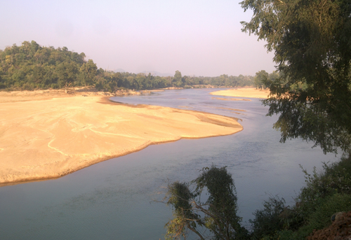
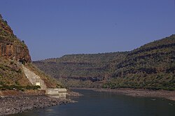
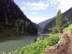
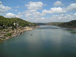
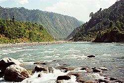
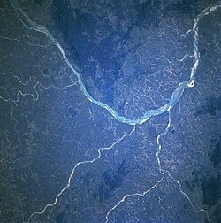
The Brahmani is a major seasonal river in the Odisha state of eastern India. The Brahmani is formed by the confluence of the Sankh and South Koel rivers, and flows through the districts of Sundargarh, Angul, Dhenkanal,Jajapur and Kendrapara. Also the South Koel can be considered as the upper reaches of the Brahmani. Together with the river Baitarani, Brahmani forms a large delta before emptying into the Bay of Bengal at Dhamra. It is the second widest river in Odisha after Mahanadi.
Length and catchment
At about 480 kilometres (300 mi) long, the Brahmani is the second longest river in Odisha after the Mahanadi. However, if its constituent rivers are included, its length extends to about 799 kilometres (496 mi), of which 541 kilometres (336 mi) are in Odisha. It has a catchment area of about 39,033 square kilometres (15,071 mi2) in Odisha alone.
Irrigation projects
Apart from the Rengali dam mentioned above, there also exists a barrage shortly before Talcher called Samal Barrage. The Jokadia and the Jenapur anicuts are the other irrigation projects on the river. Near its mouth, the river is also integrated with the Odisha Coast Canal of the East Coast Canal.
以上摘自英文维基百科「Brahmani River」(去掉了表格、图片、参考文献和外部链接),按 CC BY-SA 4.0 使用。