舆图

资料
- 所在国家 / 地区
- 海地
- 坐标
- 北纬 18.38°,西经 74.03°
- 所属山脉
- Massif de la Hotte
- 所在保护区
- 皮克马卡亚国家公园
百科(英文)
这个词条没有中文维基百科条目,下面是英文维基百科的原文。
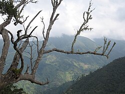
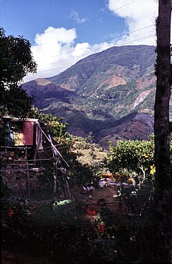
Pic Macaya (Macaya Peak) is the second-highest mountain in Haiti (after Pic la Selle), rising to an elevation of 2,347 metres (7,700 feet) above sea level. It is located in the Massif de la Hotte, 36 kilometres (22 miles) northwest of Les Cayes and 195 km (121 mi) west of Port-au-Prince. The mountain is located in the Pic Macaya National Park.
Pic Macaya is a source of water generation and has rich soil that support its dense pine forests. It has a high concentration of biodiversity with numerous endemic species and is also a nesting location for the endangered Black-capped petrel.
以上摘自英文维基百科「Pic Macaya」(去掉了表格、图片、参考文献和外部链接),按 CC BY-SA 4.0 使用。