舆图

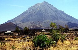
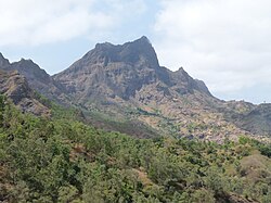
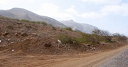
Tope de Coroa is a mountain on the island of Santo Antão's, Cape Verde, Africa. At 1,979 m elevation, it is the highest point of the island. It is in the western part of the island, 25 km west of the island capital Porto Novo. The mountain is entirely of volcanic origin. The area is the source of several streams including Ribeira de Monte Trigo which flows westward to Monte Trigo.
摘自英文维基百科「Tope de Coroa」,按 CC BY-SA 4.0 使用
资料
- 所在国家 / 地区
- 佛得角
- 坐标
- 北纬 17.03°,西经 25.30°