舆图

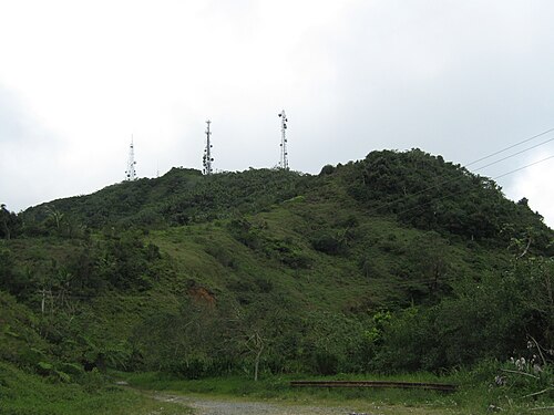
Cerro de Punta or Cerro Punta is the highest peak in Puerto Rico, rising to 1,338 meters (4,390 ft) above sea level. The mountain is part of the Cordillera Central and is located on the municipal boundary between Ponce and Jayuya in the central region of the main island of Puerto Rico.
摘自英文维基百科「Cerro de Punta」,按 CC BY-SA 4.0 使用
资料
- 所在国家 / 地区
- 美国
- 坐标
- 北纬 18.17°,西经 66.59°
- 所属山脉
- Cordillera Central