舆图

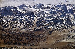
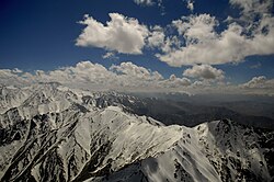
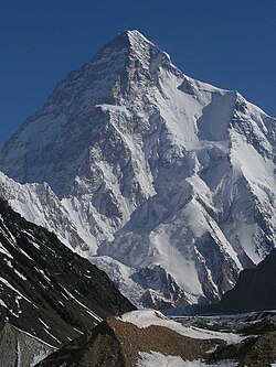
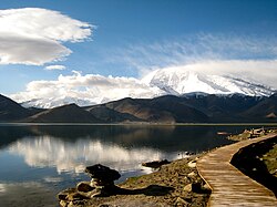
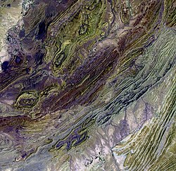
The Baba Mountain range (Pashto: بابا غر Bâbâ Ǧar; Persian: کوه بابا Kōh-i Bābā; or Kūh-e Bābā; Kōh or Kūh meaning ′mountain′, Bābā meaning ′father′) is the western extension of the Hindu Kush, and the origin of Afghanistan's Kabul, Arghandab, Helmand, Farah, Hari, Murghab, Balkh, and Kunduz rivers. The mountain range is crowned by Foladi peak (or Shah Fuladi) rising 5048 m (some old maps and dictionaries: 5143 m) above sea level, and is located south of Bamyan.
摘自英文维基百科「Koh-i-Baba」,按 CC BY-SA 4.0 使用
资料