舆图

示意图,边界据 Natural Earth,不作为划界依据。
资料
百科(英文)
这个词条没有中文维基百科条目,下面是英文维基百科的原文。
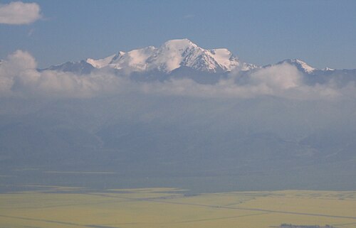
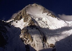
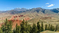
Gang Ziska Snowy Peak also known as Gangshika Peak (simplified Chinese: 岗什卡雪峰; traditional Chinese: 崗什卡雪峰; pinyin: Gǎngshíkǎ Xuěfēng), is a 5,254 m (17,238 ft) high mountain peak in the eastern Qilian Mountains of northeastern Qinghai province. The mountain is located within Menyuan Hui Autonomous County of Haibei Prefecture, and is not far from the Gansu border. Ganshika is the highest peak in the Lenglong Ling (subrange) of the Qilian Mountains. Its southern slopes are drained by the Datong River and tributaries, while its northern slopes are drained by the Dongda He, an endorheic river terminating in Gansu near Jinchang.
The mountain possesses a popular climbing route via its glaciers, although Menyuan County is closed to foreigners without a permit. The nearest town is Qingshiju (青石咀镇), alternately Qingshizui (青石嘴), in Menyuan County.
以上摘自英文维基百科「Gangshika Peak」(去掉了表格、图片、参考文献和外部链接),按 CC BY-SA 4.0 使用。