舆图

资料
- 所在国家 / 地区
- 挪威
- 坐标
- 北纬 68.36°,东经 14.79°
- 所属山脉
- 斯堪的纳维亚山脉
- 所处地形
- 东湾岛
- 属于
- 罗弗敦群岛
- 地形孤立度
- 32.8 千米
百科(英文)
这个词条没有中文维基百科条目,下面是英文维基百科的原文。
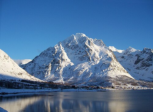
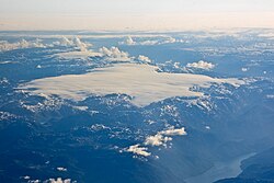
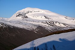
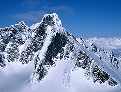
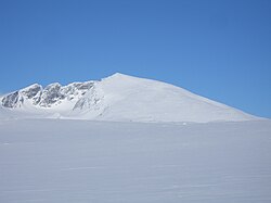
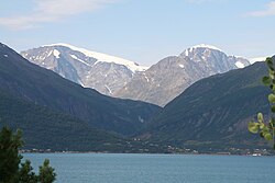
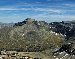
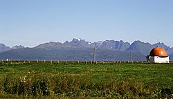
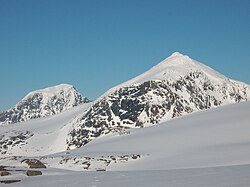
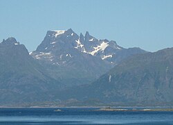
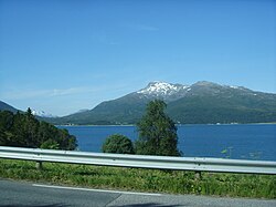
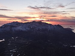
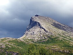
Higravtindan is the tallest mountain on the island of Austvågøya in the Lofoten archipelago in Nordland county, Norway. It is located on the border of Hadsel Municipality and Vågan Municipality. The village of Laupstad and the European route E10 highway are located about 3 kilometres (1.9 mi) west of the mountain and the village of Liland is located about 3 kilometres (1.9 mi) southwest of the mountain. There is a glacier located on the east side of the mountain. The mountain is 1,148 m (3,766 ft) high.
以上摘自英文维基百科「Higravtindan」(去掉了表格、图片、参考文献和外部链接),按 CC BY-SA 4.0 使用。