舆图

资料
百科(英文)
这个词条没有中文维基百科条目,下面是英文维基百科的原文。
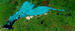
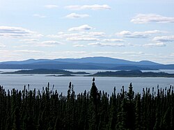
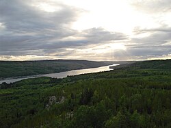
Lake Plétipi is an irregularly shaped lake in central Quebec, Canada. It is fed by and drains into the Rivière aux Outardes. The lake is approximately 60 km WNW of the huge impact crater known as Lake Manicouagan and 80 km from the nearest road. It, nearby Lakes Matonipi and Matonipis, and their surrounding region have been proposed as a biodiversity reserve under the Natural Heritage Conservation Act of Canada. At one time, the Betsiamites, a subset of the Naskapi peoples, used to hunt in the area.
以上摘自英文维基百科「Lake Plétipi」(去掉了表格、图片、参考文献和外部链接),按 CC BY-SA 4.0 使用。