舆图

资料
- 所在国家 / 地区
- 意大利
- 坐标
- 北纬 42.15°,东经 13.61°
- 所属山脉
- Sirente-Velino
百科(英文)
这个词条没有中文维基百科条目,下面是英文维基百科的原文。
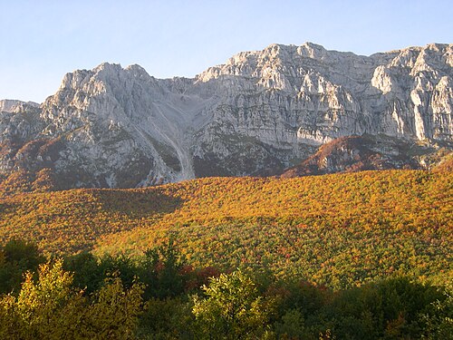
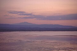
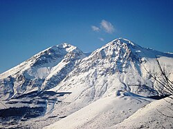
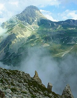
Monte Sirente is a mountain in Abruzzo, central Italy, the highest peak (at 2,348 m) of a small chain extending for c. 13 km from the Altopiano delle Rocche, the Marsica and the Valle Subequana, ending to the Fucino plain. It is part of the Sirente-Velino Regional Park.
The northern side of Sirente is characterized by deep gorges created by glaciers during the last Pleistocene glaciation. The southern side declines in a milder way towards the Fucino.
Nearby is the Sirente crater.
以上摘自英文维基百科「Monte Sirente」(去掉了表格、图片、参考文献和外部链接),按 CC BY-SA 4.0 使用。