舆图

资料
- 所在国家 / 地区
- 挪威
- 坐标
- 北纬 69.56°,东经 19.36°
- 所属山脉
- 斯堪的纳维亚山脉
- 地形孤立度
- 18.6 千米
百科(英文)
这个词条没有中文维基百科条目,下面是英文维基百科的原文。
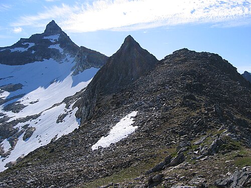
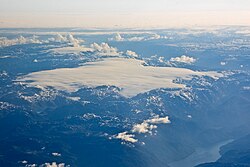
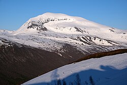
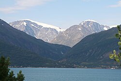
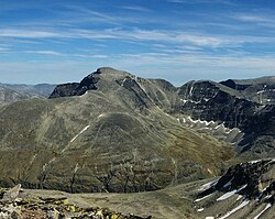
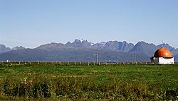
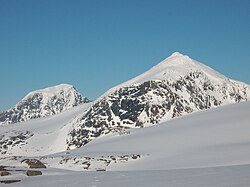
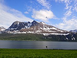
Hamperokken (Norwegian) or Stuora Gáranasgáisi (Northern Sami) is a mountain in Tromsø Municipality in Troms county, Norway. At 1,404 metres (4,606 ft) tall, it is the highest mountain peak on the mainland peninsula west of the Ullsfjorden. Hamperokken has the 6th most prominent peak in Norway with a prominence of 1,393 metres (4,570 ft). The mountain sits about 6.7 kilometres (4.2 mi) east of the village of Fagernes and the European route E8 and it is also about 20 kilometres (12 mi) southeast of the city of Tromsø.
以上摘自英文维基百科「Hamperokken」(去掉了表格、图片、参考文献和外部链接),按 CC BY-SA 4.0 使用。