舆图

资料
- 所在国家 / 地区
- 挪威
- 坐标
- 北纬 70.45°,东经 23.10°
- 所处地形
- 塞兰岛
- 地形孤立度
- 45.4 千米
百科(英文)
这个词条没有中文维基百科条目,下面是英文维基百科的原文。
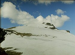
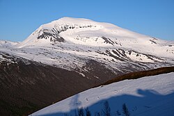
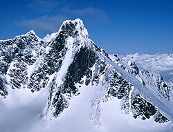
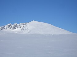
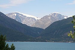
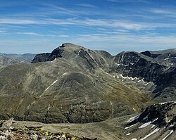
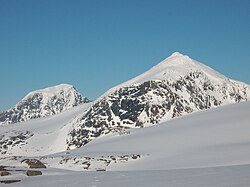
Seilandstuva is the highest mountain on the island of Seiland in Finnmark county, Norway. The 1,078-metre (3,537 ft) tall mountain lies on the border of the municipalities of Alta and Hammerfest, and is inside Seiland National Park. The Seilandsjøkelen glacier lies about 5 kilometres (3.1 mi) southeast of the mountain.
Etymology
The last element is the finite form of tuve which means "tuft of grass" or "tussock" and the first part refers to the island on which it is located.
以上摘自英文维基百科「Seilandstuva」(去掉了表格、图片、参考文献和外部链接),按 CC BY-SA 4.0 使用。