舆图

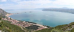
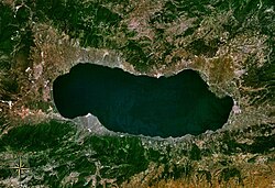
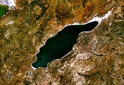
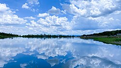
The Atatürk Reservoir (Turkish: Atatürk Baraj Gölü) is a reservoir on the Euphrates, created by the Atatürk Dam in Turkey. It is located between Adıyaman, Şanlıurfa, and Diyarbakır provinces. The reservoir has a surface area of 817 km2 and a volume of 48.5 cubic kilometers, making it the third largest lake in the country after Lake Van and Lake Tuz. It was formed between 1990 and 1992. The reservoir water level touched 535 m (1,755 ft) amsl in 1994. Since then, it varies between 526 and 537 m amsl. The full reservoir level is 542 m (1,778 ft), and the minimum operation level is 526 m (1,726 ft……
摘自英文维基百科「Atatürk Reservoir」,按 CC BY-SA 4.0 使用
资料
- 所在国家 / 地区
- 土耳其
- 坐标
- 北纬 37.57°,东经 38.59°