舆图

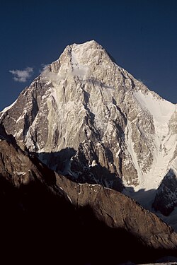
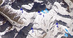
The Buni Zom group is a prominent mountain area of Chitral, in the Hindu Raj range of Pakistan. Buni Zom (main) is the highest peak of the group with an elevation of 6,542 m (21,463 ft). It is located about 50 km (30 mi) northeast of the town of Chitral, and about 50 km (30 mi) east of Tirich Mir, the highest peak in the Hindu Kush.
摘自英文维基百科「Buni Zom」,按 CC BY-SA 4.0 使用
资料
- 所在国家 / 地区
- 巴基斯坦
- 坐标
- 北纬 36.15°,东经 72.33°
- 所属山脉
- Hindu Raj