舆图

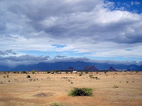
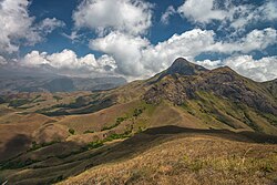
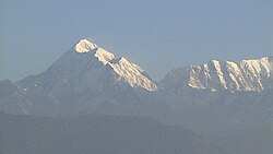
Agasthyamala is one of the peaks of the Agasthyamala Biosphere Reserve in the Western Ghats that lies between the districts of Tirunelveli District of Tamil Nadu and Thiruvananthapuram District of Kerala, India. This peak is specifically located in the Thiruvananthapuram district of Kerala, near the Tamil Nadu border. It is 1,868-metres (6,129 ft) tall.. The perennial Thamirabarani River originates from the eastern side of the range and flows into the Tirunelveli district of Tamil Nadu. The rivers flowing westwards through the district of Thiruvananthapuram in Kerala are the Karamana River and the Neyyar river.
摘自英文维基百科「Agastya Mala」,按 CC BY-SA 4.0 使用
资料