舆图

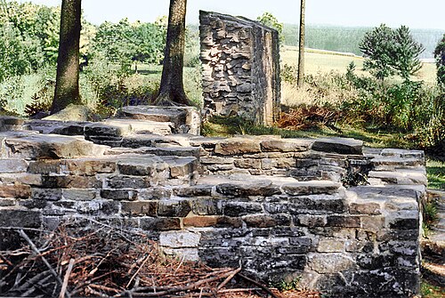
The borders of the Roman Empire, which fluctuated throughout the empire's history, were realised as a combination of military roads and linked forts, natural frontiers (most notably the Rhine and Danube rivers) and man-made fortifications which separated the lands of the empire from the countries beyond.
摘自英文维基百科「Borders of the Roman Empire」,按 CC BY-SA 4.0 使用
资料