舆图

资料
百科(英文)
这个词条没有中文维基百科条目,下面是英文维基百科的原文。
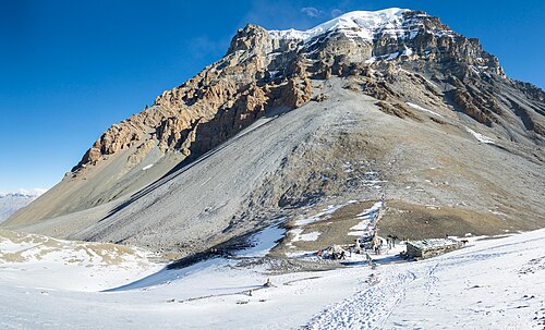
Yakawa Kang, also known as Yākwākāṅ, is a mountain in Nepal.
Description
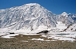
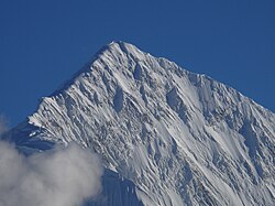
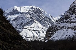
Yakawa Kang is a 6,482-metre (21,266-foot) glaciated summit in the Nepalese Himalayas. It is situated eight kilometres (5.0 mi) east of Ranipauwa in Gandaki Province. Precipitation runoff from the mountain's slopes drains east into tributaries of the Marshyangdi River and west to the Kali Gandaki. Topographic relief is significant as the summit rises 1,066 metres (3,497 ft) above Thorong La in less than two kilometres (1.2 mi) and the northwest face rises 1,300 metres (4,265 ft) in one kilometre (0.62 mi). The Annapurna Circuit traverses below the south slope of this peak. The first ascent of the summit was made on November 7, 2010, by Hidenobu Tsuji, Dawa Norbu Sherpa, Dawa Tshering Sherpa, and Tshering Tashi Sherpa.
Climate
Based on the Köppen climate classification, Yakawa Kang is located in a tundra climate zone with cold, snowy winters, and cool summers. Weather systems are forced upwards by the Himalaya mountains (orographic lift), causing heavy precipitation in the form of rainfall and snowfall. Mid-June through early-August is the monsoon season. The months of April, May, September, and October offer the most favorable weather for viewing or climbing this peak.
以上摘自英文维基百科「Yakawa Kang」(去掉了表格、图片、参考文献和外部链接),按 CC BY-SA 4.0 使用。