舆图

资料
百科(英文)
这个词条没有中文维基百科条目,下面是英文维基百科的原文。
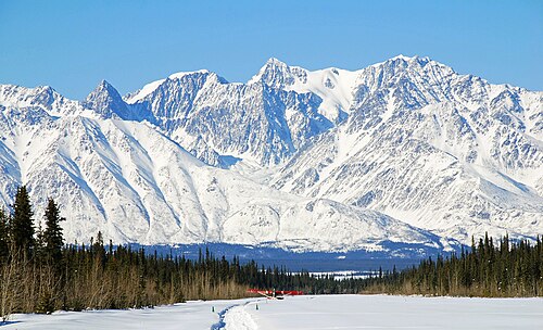
Mount Allen is a 9,512-foot-elevation (2,899-meter) mountain summit in Alaska, United States.
Description
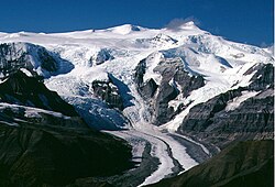
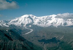
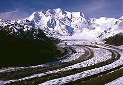
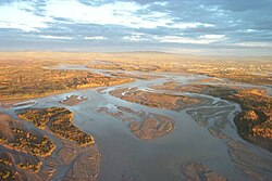
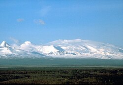
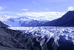
Mount Allen is a prominent glaciated mountain set in the Wrangell Mountains. The remote peak is located 13.5 miles (21.7 km) north-northwest of Chisana, Alaska, in Wrangell–St. Elias National Park and Preserve. Precipitation runoff from the mountain drains into tributaries of the Chisana River which is a tributary of the Tanana River. Topographic relief is significant as the summit rises 6,400 feet (1,950 m) above the Chisana River in five miles (8 km).
Etymology
The mountain is named for Henry Tureman Allen (1859–1930), who explored and mapped the Copper River region in 1885. He named and measured the elevations of the region's giants such as Mount Blackburn, Mount Sanford, and Mount Drum. The mountain's toponym has been officially adopted by the U.S. Board on Geographic Names. The Upper Tanana name for this mountain is "Ch 'ank än' Choh."
Climate
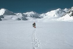
Based on the Köppen climate classification, Mount Allen is located in a subarctic climate zone with long, cold, snowy winters, and cool summers. Winter temperatures can drop below −20 °F with wind chill factors below −30 °F. This climate supports unnamed glaciers surrounding this peak. The months May through June offer the most favorable weather for climbing or viewing.
以上摘自英文维基百科「Mount Allen (Alaska)」(去掉了表格、图片、参考文献和外部链接),按 CC BY-SA 4.0 使用。