舆图

资料
- 所在国家 / 地区
- 美国
- 坐标
- 北纬 42.19°,西经 113.66°
- 所属山脉
- Albion Mountains
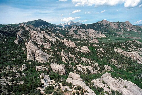
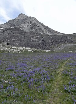
Cache Peak, at 10,339 feet (3,151 m) above sea level, is the highest peak in the Albion Mountains of Cassia County in Southern Idaho and the highest peak south of the Snake River in Idaho. Cache Peak is located in the central part of the range southeast of Oakley and north of Almo in the Albion Division of the Minidoka Ranger District of Sawtooth National Forest.
摘自英文维基百科「Cache Peak (Idaho)」,按 CC BY-SA 4.0 使用