舆图

资料
- 所在国家 / 地区
- 美国
- 坐标
- 北纬 44.38°,西经 107.17°
- 所属山脉
- 比格霍恩山脉
百科(英文)
这个词条没有中文维基百科条目,下面是英文维基百科的原文。
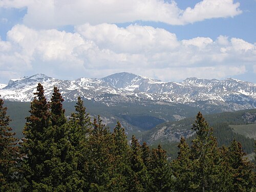
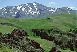
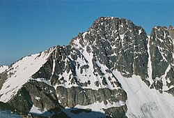
Cloud Peak is a 13,171 feet (4,015 m) mountain located in the Bighorn Mountains in the U.S. state of Wyoming. The highest peak of that range, it lies within the 189,000-acre (765 km2) Cloud Peak Wilderness within Bighorn National Forest.
Location
Cloud Peak is on the border between Johnson County and Big Horn County in Wyoming and is the high point of both counties. As the high point of an isolated range, Cloud Peak has the greatest topographic prominence in the state, 7,077 feet (2,157 m), one foot more than the state's highest mountain, 13,810 foot (4,210 m) Gannett Peak, and fifteenth greatest in the contiguous United States.
Climbing
Cloud Peak can be climbed most easily from the western side, accessed by either the Battle Park or West Tensleep trailheads, which both form 24-mile (39 km) round trips from the peak. The northeast slope is a deep cirque which harbors Cloud Peak Glacier, the last active glacier in the Bighorn Mountains.
Climate
Cloud Peak has an Alpine climate (ET).
Cloud Peak Reservoir is a mountain lake below Cloud Peak on its eastern slopes. The weather station there has a subalpine climate (Köppen Dfc).
以上摘自英文维基百科「Cloud Peak」(去掉了表格、图片、参考文献和外部链接),按 CC BY-SA 4.0 使用。