舆图
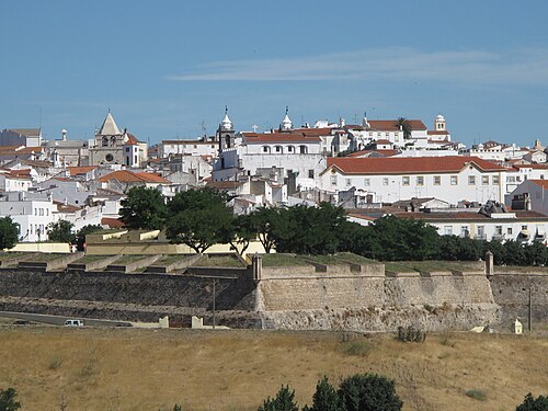
埃尔瓦斯的驻军边境城镇及其防御工事 世界遗产
Garrison Border Town of Elvas and its Fortifications

示意图,边界据 Natural Earth,不作为划界依据。
Elvas (Portuguese pronunciation: [ˈɛlvɐʃ] ), officially the City of Elvas (Portuguese: Cidade de Elvas), is a Portuguese municipality, former episcopal city and frontier fortress of easternmost central Portugal, located in the district of Portalegre in Alentejo. It is situated about 200 kilometres (120 mi) east of Lisbon, and about 8 kilometres (5.0 mi) west of the Spanish fortress of Badajoz, by the Madrid-Badajoz-Lisbon railway. The municipality population as of 2011 was 23,078, in an area of 631.29 square kilometres (243.74 sq mi). The city itself had a population of 16,640 as of 2011.
摘自英文维基百科「Garrison Border Town of Elvas and its Fortifications」,按 CC BY-SA 4.0 使用
资料