舆图

资料
- 所在国家 / 地区
- 印度
- 坐标
- 北纬 23.45°,东经 92.76°
- 所属山脉
- 卢赛丘陵
- 所处地形
- 卢赛丘陵
- 属于
- 卢赛丘陵
百科(英文)
这个词条没有中文维基百科条目,下面是英文维基百科的原文。
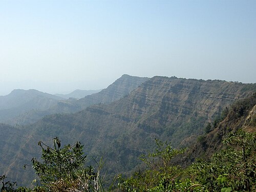
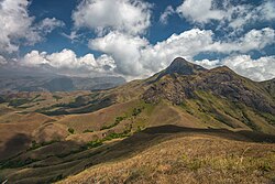
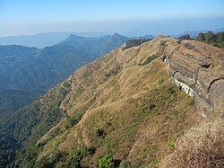
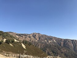
Hmuifang is a tourist spot about 50 km from Aizawl, Mizoram, India. With an elevation of 1,619 metres, the mountain is covered with forest reserves since all the Mizo Chief's time.
History
Hmuifang Tourist resort has been built right on the former land of Lallianvunga the erstwhile chief who used to rule over the villages in the mountain. Hmuifang is also the source of Tuirial River.
Thalfavang Kut
Thalfavang Kut, a Mizo festival is being regularly being held in Hmuifang organized the Tourism Department of Mizoram to promote Tourism. Different Mizo dances like Cheraw, Sawlakai, Siktuithiang lam and Chheihlam are showcased in the festival.
以上摘自英文维基百科「Hmuifang」(去掉了表格、图片、参考文献和外部链接),按 CC BY-SA 4.0 使用。