舆图

资料
- 所在国家 / 地区
- 印度尼西亚
- 坐标
- 南纬 5.35°,东经 119.93°
- 地形孤立度
- 217.0 千米
百科(英文)
这个词条没有中文维基百科条目,下面是英文维基百科的原文。
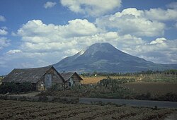
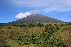
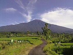
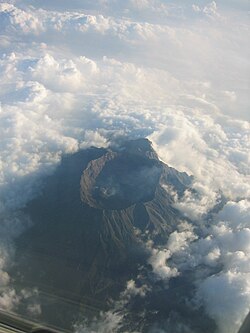
Moncong Lompobattang is a mountain in Indonesia with an elevation of 2,874 m. Moncong Lompobattang is ranked 116th in the world by topographic prominence.
There is a small antenna compound at the summit of Moncong Lompobattang, along with a triangular pillar and a boulder with the names previous climbers written on it. One kilometre north of the summit lies a slightly lower sub-peak known as Puncak Ko’bang (2,870 m) which is the alleged site of the tomb of a King of Gowa. The two peaks, including the entire mountain and its surrounding area, are considered spiritually significant among local people.
以上摘自英文维基百科「Moncong Lompobattang」(去掉了表格、图片、参考文献和外部链接),按 CC BY-SA 4.0 使用。