舆图

资料
- 所在国家 / 地区
- 加拿大
- 坐标
- 北纬 50.84°,西经 115.27°
- 所属山脉
- Kananaskis Range
- 得名自
- 伽拉忒亚号轻巡洋舰
百科(英文)
这个词条没有中文维基百科条目,下面是英文维基百科的原文。
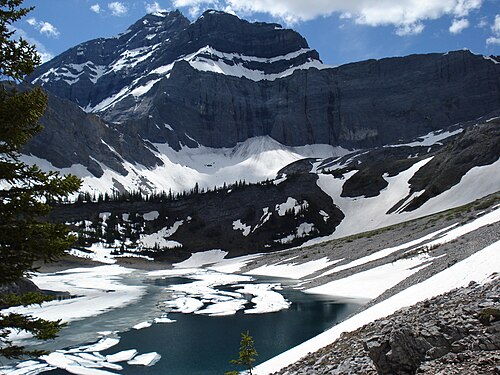
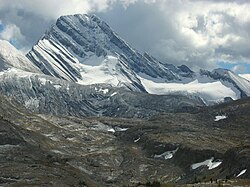
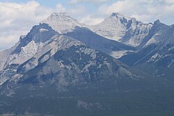
Mount Galatea is the highest peak of the Kananaskis Range, a subrange of the Canadian Rockies in the province of Alberta. It is located in the upper Spray Lakes Valley of the Kananaskis Country system of provincial parks. The mountain was named after the Royal Navy cruiser HMS Galatea.
Geology
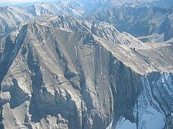
Mount Galatea is composed of sedimentary rock laid down during the Precambrian to Jurassic periods. Formed in shallow seas, this sedimentary rock was pushed east and over the top of younger rock during the Laramide orogeny.
Climate
Based on the Köppen climate classification, Mount Galatea is located in a subarctic climate zone with cold, snowy winters, and mild summers. Winter temperatures can drop below −20 °C with wind chill factors below −30 °C.
以上摘自英文维基百科「Mount Galatea」(去掉了表格、图片、参考文献和外部链接),按 CC BY-SA 4.0 使用。