舆图

资料
- 所在国家 / 地区
- 印度尼西亚
- 坐标
- 南纬 1.16°,东经 133.98°
- 所属山脉
- 阿尔法克山脉
百科(英文)
这个词条没有中文维基百科条目,下面是英文维基百科的原文。
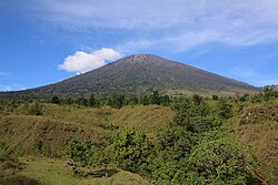
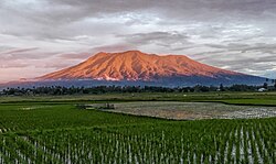
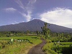
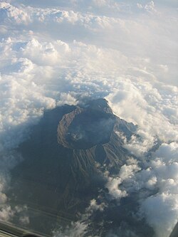
Mount Arfak is the highest point in the province of West Papua. It is located on north-east side of the Bird's Head Peninsula. It is a popular hiking area and is the highest peak of the Arfak Mountains. From the summit, Manokwari can be seen. The summit of Mt. Arfak is temperate and dry with very hot, dry summer temperatures that average below 95 °F (35 °C) and mild, humid winter temperatures that average above 38 °F (3 °C). During the winter months, the mountain's summit receives frost usually and sometimes can get to 33 °F (0 °C) every now and then. Sometimes snow can fall on the summit, but not every year. Average rain amount per year is about 45 inches (1150 mm). The mountain is part of the Pegunungan Arfak Nature Reserve, a 683-square-kilometer (264 sq mi) protected area that protects parts of the Vogelkop montane rain forests ecoregion. The mountain is also the highest point in the Manokwari metropolitan area.
以上摘自英文维基百科「Mount Arfak」(去掉了表格、图片、参考文献和外部链接),按 CC BY-SA 4.0 使用。