舆图

资料
百科(英文)
这个词条没有中文维基百科条目,下面是英文维基百科的原文。
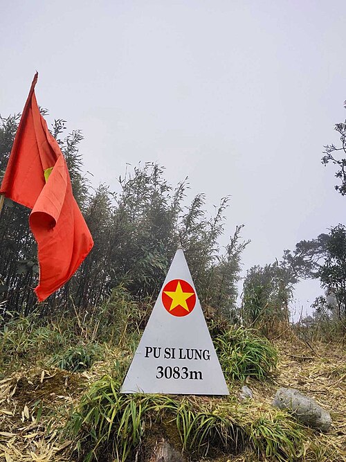
Pu Si Lung (Núi Pu Si Lung, sometimes Phu Si Lung, Phu Xi Lùng), is a mountain in Southeast Asia on the international border between China and Vietnam. The peak, narrowly on the Vietnamese side, is 3,076 metres tall.
The mountain is in the xã (commune) Pa Vệ Sử, Mường Tè District, Lai Châu Province. It is adjacent to Pu Tả Tông (2,109 m) and Pu Đen Đinh (1,886 m).
以上摘自英文维基百科「Phu Si Lung」(去掉了表格、图片、参考文献和外部链接),按 CC BY-SA 4.0 使用。