舆图

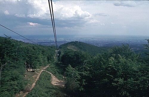
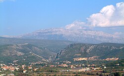
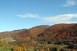
Medvednica (pronounced [mědʋednitsa], lit. 'Bear mountain') is a mountain in central Croatia, just north of Zagreb, and marking the southern border of the historic region of Zagorje. Most of it is encompassed by the Medvednica Nature Park. The highest peak, at 1,035 m (3,396 ft) is Sljeme. Most of the area of Medvednica is a nature park (park prirode), a type of preservation lesser than a national park. During the Miocene and the Pliocene, the mountain was an island within the Pannonian Sea. Together with the surrounding hills, it is known as Zagrebačka gora or the "Zagreb Mountains", as well ……
摘自英文维基百科「Medvednica」,按 CC BY-SA 4.0 使用
资料
- 所在国家 / 地区
- 克罗地亚
- 坐标
- 北纬 45.93°,东经 16.06°